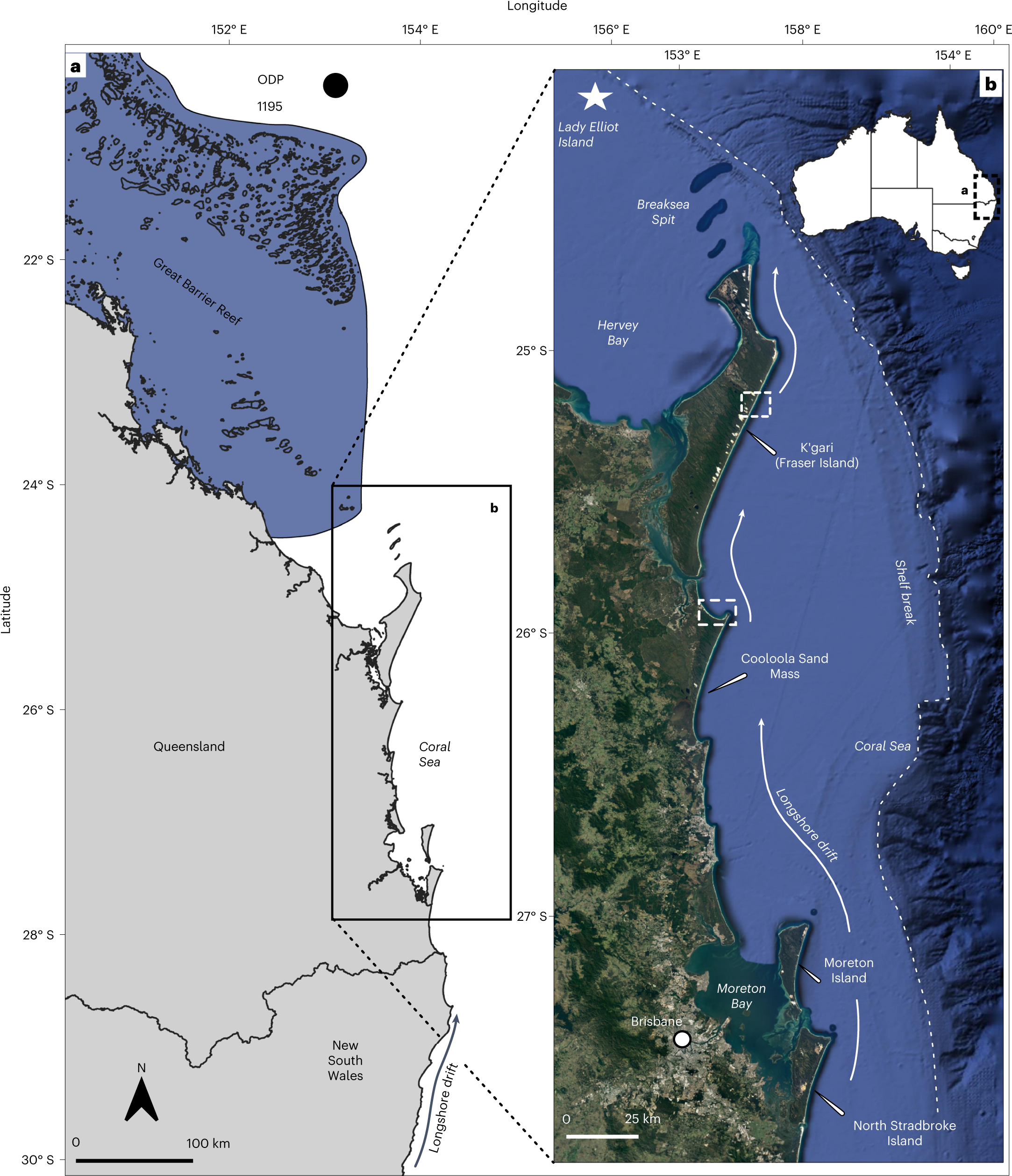
Fig. 1: Overview and location map of areas discussed in the text.

a, Map of eastern Australia with dominant longshore drift system, the southern GBR and Ocean Drilling Program Site 1195 (ODP 1195). b, Location of Fraser Island, the Cooloola Sand Mass and other areas discussed in the text. The white dashed boxes in b indicate sampling locations for Rainbow Beach (Cooloola) and the Fraser Island cliffs (Fraser Island). The longshore drift system that operates along the coast is indicated, along with Lady Elliot Island, which is the southernmost emergent reef of the GBR. Note the proximity of the continental shelf break to the northern tip of Fraser Island. Longshore sediment transported north of Fraser Island is redirected off the continental shelf and is transported to the abyssal plain14. Data from Esri, DigitalGlobe, GeoEye, i-cubed, USDA FSA, USGS, AEX, Getmapping, Aerogrid, IGN, IGP, swisstopo and the GIS User Community.
