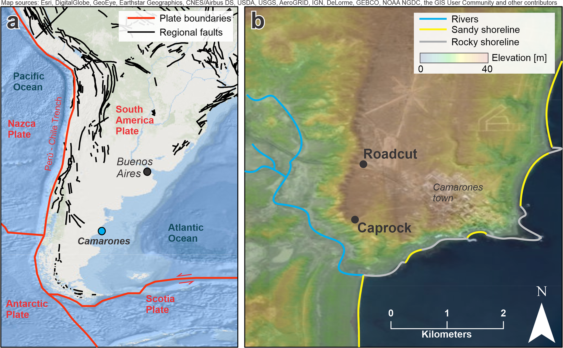
Fig. 1: General and specific location of the study area.

a Location of the study area and main geological structures in the Southern part of South America. b Topography of the Camarones town area, with location of the two outcrops (Roadcut and Caprock) presented in this study. Map sources: Esri, DigitalGlobe, GeoEye, Earthstar Geographics, CNES/Airbus DS, USDA, USGS, AeroGRID, IGN, DeLorme, GEBCO, NOAA NGDC, SRTM, the GIS User Community and other contributors. Elevation data in b are from the Shuttle Radar Topography Mission79.
